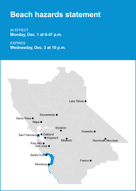
Northern Monterey Bay and Southern Monterey Bay and Big Sur Coast as well as San Francisco County are the focus of a beach hazards statement issued at 6:47 p.m. on Monday by the National Weather Service. The statement is in effect until Wednesday Dec. 3, at 10 p.m.
“Long period westerly swell will result in an increased risk for sneaker waves and strong rip currents. Breaking waves 10 to 14 feet, with long lulls of 10 to 20 minutes or more between largest sets,” can be expected according to the NWS San Francisco CA. “For the Coastal Flood Advisory, at the San Francisco tidal gauge high tide is expected to be 0.8 ft above normal (6.66 ft MLLW) at 8:24 a.m. Tuesday, 1.2 ft above normal (7.00 ft MLLW) at 9:04 a.m. Wednesday, 1.4 ft above normal (7.20 ft MLLW) at 9:48 a.m. Thursday, 1.4 ft above normal (7.23 ft MLLW) at 10:35 a.m. Friday, 1.2 ft above normal (7.08 ft MLLW) at 11:25 a.m. Saturday, and 0.9 ft above normal (6.75 ft MLLW) at 12:17 p.m. Sunday. High tide timing varies up to 90 minutes earlier or later along the Pacific Coast and throughout the San Francisco Bay respectively.”
“Sneaker waves can unexpectedly run significantly farther up the beach than normal, including over rocks and jetties. Rip currents are typically more frequent and stronger in the vicinity of jetties, inlets, and piers,” according to the NWS. “If travel is required, allow extra time as some roads may be closed. Do not drive around barricades or through water of unknown depth. Take the necessary actions to protect flood-prone property. Dangerous conditions are forecast along the shoreline. Hazards include sneaker waves, strong rip currents, and large breaking waves. Stay off the rocks and NEVER turn your back on the ocean!”
For more weather alerts in the Bay Area, visit Weather Advisories