As editors and reporters in the Chicago Sun-Times/WBEZ newsroom geared up for President Trump’s proclamation earlier this month that he intended to send the National Guard to Chicago, we asked ourselves: How could we possibly cover the deployment of troops and more ICE agents if the operation was large and dispersed?
One avenue? Engage the public.
(As we published this story, Trump announced that he would be sending the National Guard to Memphis instead. The administration’s anti-immigration operation in Chicago continues.)
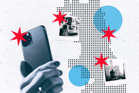
So interactive developer Andjela Padejski and Chicago Public Media’s AI fellow Mark Chonofsky got to work on a simple concept: Let’s enable members of the community to send in sightings of feds to illustrate the geographic deployment — where they are — and, secondarily, document scenes on the ground. The result would be photo submissions on a map of Chicago (we’ll publish the map once photos come in).
Questions arose. The prevailing theme: How do we verify the content of the images? Are those actually ICE agents sent by Trump? Should we verify the identity of people pictured before publishing them? Do we have an obligation to suss out the context of what may appear to be unlawful use of force?
Our solution to these important editorial questions is to post the images we are given, without commentary and without identifying information. In other words, let the image speak for itself. Date and time are extracted from metadata embedded in each photo, to make that information less prone to malicious manipulation (but this is never perfect). We ask for location information, which we’re translating into map coordinates. As a safeguard, journalists are vetting all images before publication as a human check against potential disinformation.
To give a sense of what’s happening behind the scenes, a photo must pass through a few safety checks before our journalists see it. These include gold-standard image processing automations to scan the files for malicious content and to defend against cybersecurity threats. Our goal was to allow users to retain their privacy while preventing abusive content from reaching our staff or malware from being distributed through the published map. (Thanks to Microsoft, which contributed pro bono technical advising and tools.)
You’ll see in our image upload tool that we give people the ability to tell us more about what’s happening in a photo — but this information will only be used to help us vet the content. We are not publishing these descriptions without the consent of the submitter, who may optionally and voluntarily give us contact information. We’ve also made this tool available in Spanish; look for the “Español” button in the upper left corner, which will toggle the entire interface to our hand-translated text.
Ultimately, participating in democracy involves revealing oneself. Journalists take that risk everyday. By sending in photos, Chicago, we hope, will stand with us to document this moment of federal intervention in the city’s daily life.
Have questions? Email icemap@suntimes.com. // ¿Tienes preguntas? Envía un correo electrónico a icemap@suntimes.com.

Send information to the Sun-Times securely
Do you have a confidential tip or information you want to share with the Sun-Times staff? Message us on the encrypted messaging app Signal @chicagosuntimes.06 or 708-413-4625.
Your messages will be shared only with journalists at the Sun-Times and WBEZ through a secure device. Signal message requests sent to the device are relayed to a Slack channel that reporters and editors monitor, but message contents are not shared.